

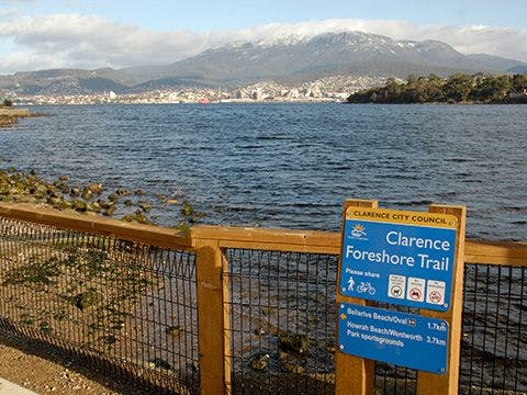
Clarence Foreshore Trail - Geilston Bay to Howrah (full track)

Getting There
Start at either the carpark at Debomfords Lane in Geilston Bay or Howrah Road, Howrah (opposite Bingley Street).
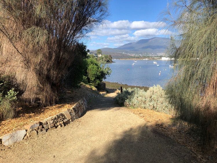
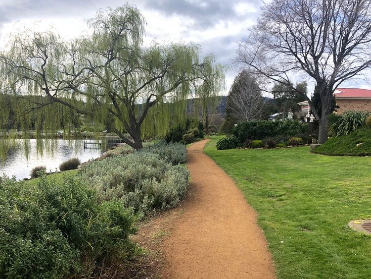
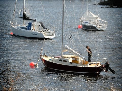
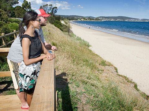
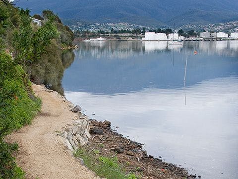
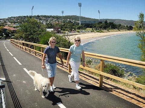
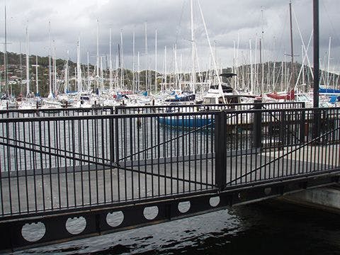
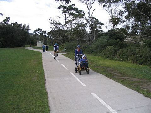
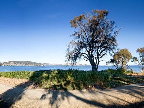
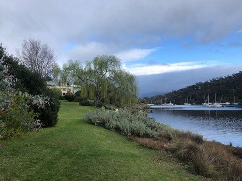
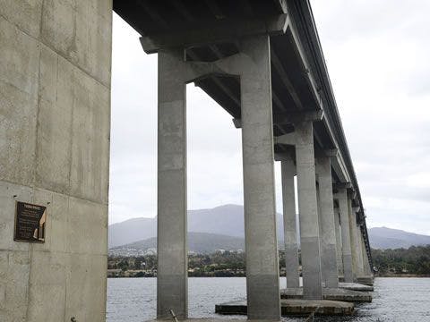
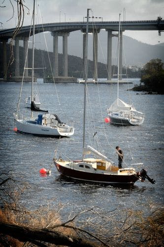
The Clarence Foreshore Trail is a multi-user pathway following the shores of the Derwent River. It offers a diverse range of scenery, from picturesque bays filled with moored yachts to she-oak forest and parkland. There are playgrounds, beaches and points of interest along the trail. The quality of the path varies from wide concrete to narrow gravel sections.
| Activity | Suggested Time | Difficulty |
|---|---|---|
| Full day | ||
| Half day |

Track Features
Dogs allowed on lead. The intertidal track at Geilston Bay is not wheelchair accessible.
Restrictions

Safety Precautions
Several sections are narrow and have a lower quality surface including the track along the foreshore at Geilston Bay which comprises of an intertidal track. An alternative is to use Musgrove Ave and Derwent Ave to bypass this section, although the hill is steep.

Plan your visit
Leave No Trace is an internationally accepted way of minimising impacts on the places we visit. Respect wildlife, be considerate with others, dispose your waste properly.
Be prepared for the walk. Plan your trip ahead, bring enough water, check the alerts, and make sure you are comfortable with the difficulty rating.
Recommended Trails


Track contacts

If you have any questions, feedback or updates regarding this track please contact the track manager at the Clarence City Council by phone on 03 6217 9500 or by email to clarence@ccc.tas.gov.au. For urgent communications please contact us by phone.
