

Mt Direction Track

Getting There
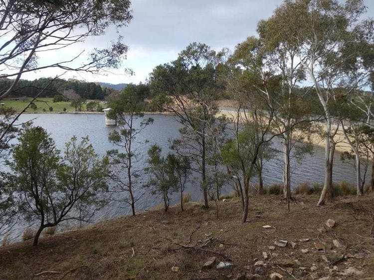
The track starts at Risdon Brook Dam which is located off Grasstree Hill Road in Risdon Vale. The East Derwent Highway is the nearest access road.
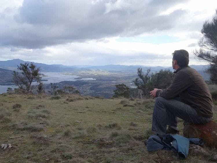
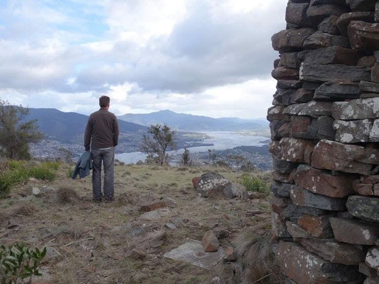
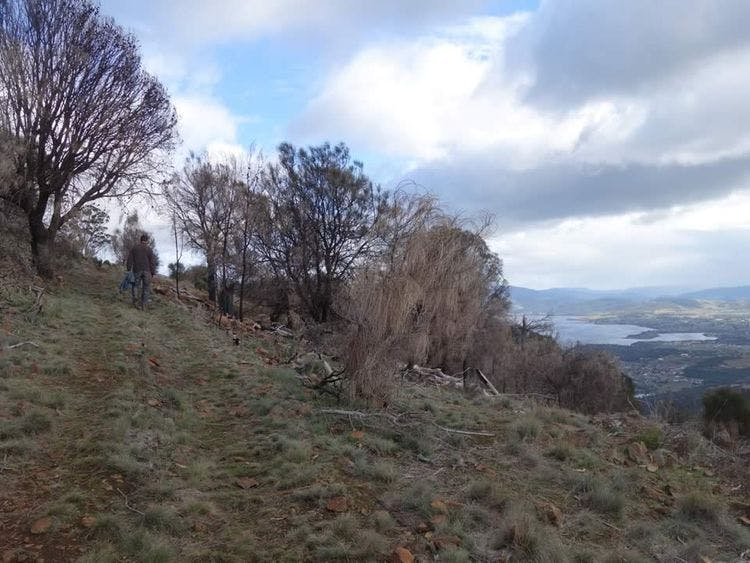
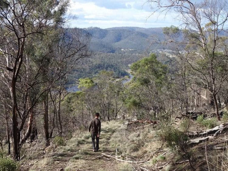
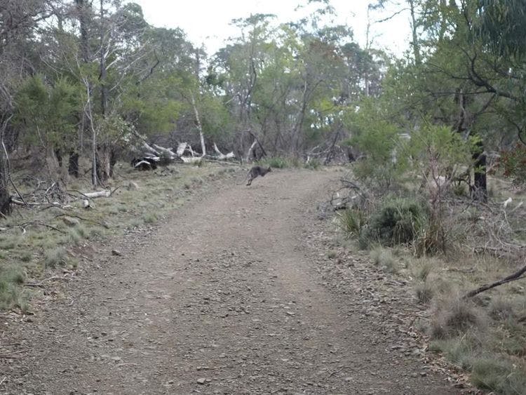
A steep climb is rewarded with spectacular views, especially to the north, reaching as far as Mt Dromedary. A short distance southeast of the summit there are views to the west of Hobart and kunanyi / Mount Wellington. Bennett’s Wallabies can be seen along the track.
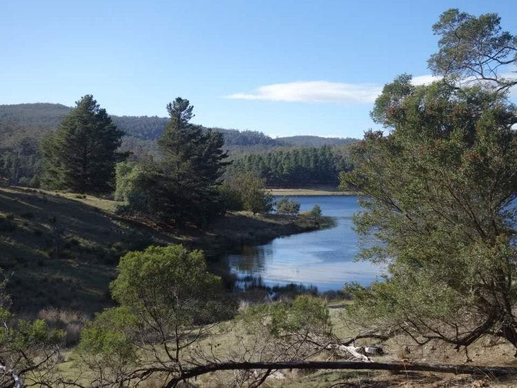
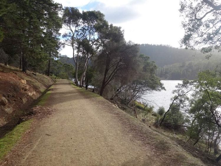
From the car park follow the service roadway across the concrete dam and continue in a clockwise direction. About 500m from the dam wall at a sharp bend in the gully there is a seat. Go through the gate and cross a grassy area to the fire trail. Turn right and follow the fire trail for 500m. Ignore a fire trail to the left and continue for a further 50m to a T-junction.
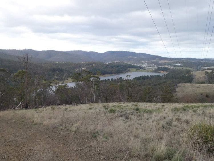
Turn left onto RB3, then left at the first junction onto RB13 and continue uphill, passing an electricity pylon. Take the track off the fire trail which starts to climb steeply. Pass through a gate to the rock cairn and communications station at the summit of Mt Direction.
| Activity | Suggested Time | Difficulty |
|---|---|---|
| Half day |

Track Features
Restrictions

Safety Precautions
There are long steep stretches on this walk so a good level of fitness is required. Walking boots are recommended.

Plan your visit
Leave No Trace is an internationally accepted way of minimising impacts on the places we visit. Respect wildlife, be considerate with others, dispose your waste properly.
Be prepared for the walk. Plan your trip ahead, bring enough water, check the alerts, and make sure you are comfortable with the difficulty rating.
Track contacts

If you have any questions, feedback or updates regarding this track please contact the track manager at TasWater.

If you have any questions, feedback or updates regarding this track please contact the track manager at the Clarence City Council by phone on 03 6217 9500 or by email to clarence@ccc.tas.gov.au. For urgent communications please contact us by phone.
