

Meehan Range – Doyles Lookout

Getting There
Access is from Flagstaff Gully Link Road in Mornington, just north of the Tasman Hwy/South Arm Highway interchange. The walk starts from the internal carpark of the Clarence Mountain Bike Park, near the toilets.
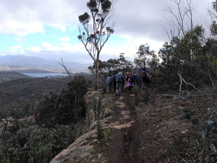
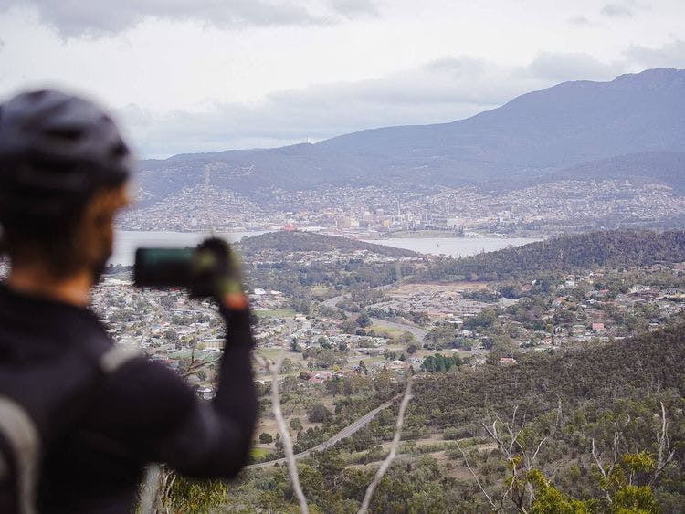
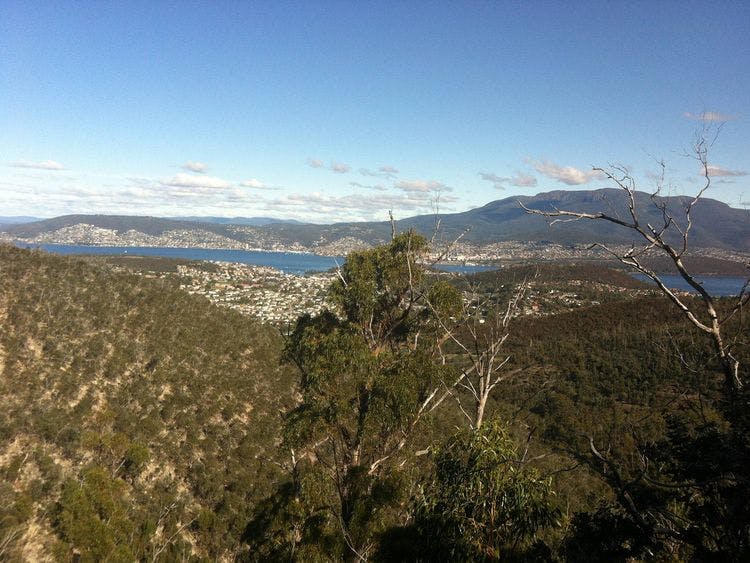
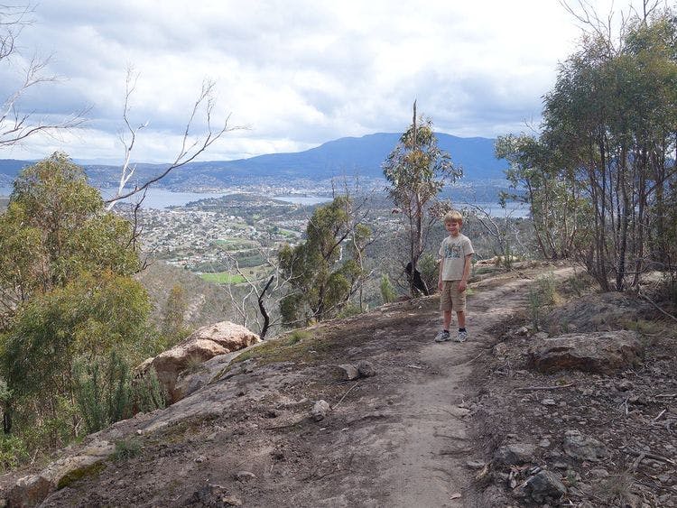
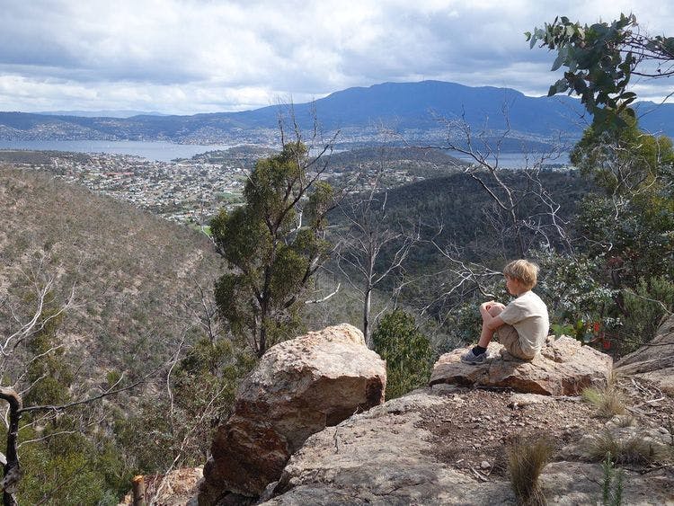
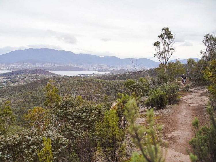
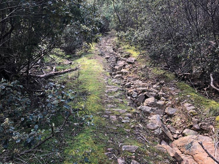
A strenuous walk that rewards with expansive views from Doyles Lookout on the Clifftop Track. The walk starts near the water tank behind the toilets. Follow the Von Bibra Trail (which shares the first 20m section with the Friends Track). After taking the left fork, the trail starts to climb steeply on a rocky and rutted surface until it levels off near the top, where it meets with the Clifftop Track on the left (unsigned). Follow the Clifftop Track above exposed cliffs to an unfenced viewing area, which makes a good spot to sit on the rocks and take in the views. Look out for the rare Risdon Peppermint (Eucalyptus risdonii), which only grows in the Meehan Range. Retrace your steps back to the Von Bibra Trail intersection and turn left for 70m until you reach the Meehan Skyline Trail. Turn right and follow the Meehan Skyline Trail downhill until you come to a sign posted track intersection and take the fire trail downhill (avoid the Corkscrew Mountain Bike Track). The first section of fire trail is steep and rocky but it levels out as you go further down the hill. At the bottom the trail crosses a mountain bike track and eventually comes out near an old stone railway abutment, formerly part of the Bellerive to Sorell railway line. Go past the stone abutment, turn right and follow the fire trail back to the carpark.
| Activity | Suggested Time | Difficulty |
|---|---|---|
| Under 2 hours |

Track Features
Restrictions

Safety Precautions
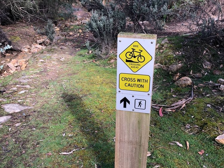
The fire trails are steep and rocky and can be slippery underfoot. The Clifftop Track has exposed cliffs. The Clifftop Track and the Meehan Skyline Fire Trail are shared-use with mountain bike riders.
Plan your visit
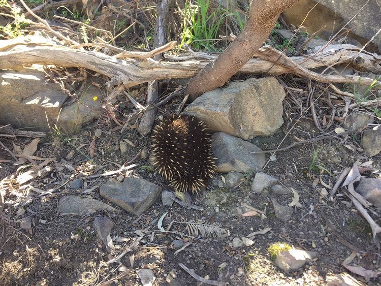
Leave No Trace is an internationally accepted way of minimising impacts on the places we visit. Respect wildlife, be considerate with others, dispose your waste properly.
Be prepared for the walk. Plan your trip ahead, bring enough water, check the alerts, and make sure you are comfortable with the difficulty rating.
Track contacts

If you have any questions, feedback or updates regarding this track please contact the track manager at the Parks and Wildlife Service by phone on 1300 135 513 or online. For urgent communications please contact us by phone.

If you have any questions, feedback or updates regarding this track please contact the track manager at the Clarence City Council by phone on 03 6217 9500 or by email to clarence@ccc.tas.gov.au. For urgent communications please contact us by phone.
