

Bridgewater Foreshore Trail

Getting There
There is a carpark at the park of Eddington Street as well as at the end of Killarney Road.
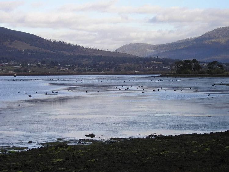
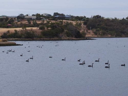
From Gunn Street the track follows the Derwent River foreshore to the east around Bridgewater and Green Point to the East Derwent Highway Bridge. There are a couple of picnic areas along the way. Plenty of birdlife can be seen around the shallow wetlands along the foreshore including black swans, cormorants, pelicans and white faced herons. There are great views up and down the river and of kunanyi / Mount Wellington. It is possible to continue walking from the East Derwent Highway Bridge along Swan Park Trail.
| Activity | Suggested Time | Difficulty |
|---|---|---|
| Under 2 hours |

Track Features
Dogs allowed on lead.
Restrictions

Safety Precautions
Plan your visit
Leave No Trace is an internationally accepted way of minimising impacts on the places we visit. Respect wildlife, be considerate with others, dispose your waste properly.
Be prepared for the walk. Plan your trip ahead, bring enough water, check the alerts, and make sure you are comfortable with the difficulty rating.
Recommended Trails

Track contacts

If you have any questions, feedback or updates regarding this track please contact Brighton Council’s Asset Services Department by phone on 03 6268 7000 or by email to admin@brighton.tas.gov.au.
