

Clarence Coastal Trail - Blessington Track & Cape Deliverance

Getting There
Start from carpark adjacent to the war memorial in South Arm and walk along the shared driveway above Jetty Road to the start of the track.
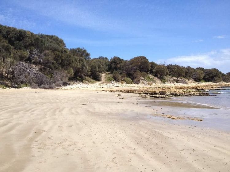
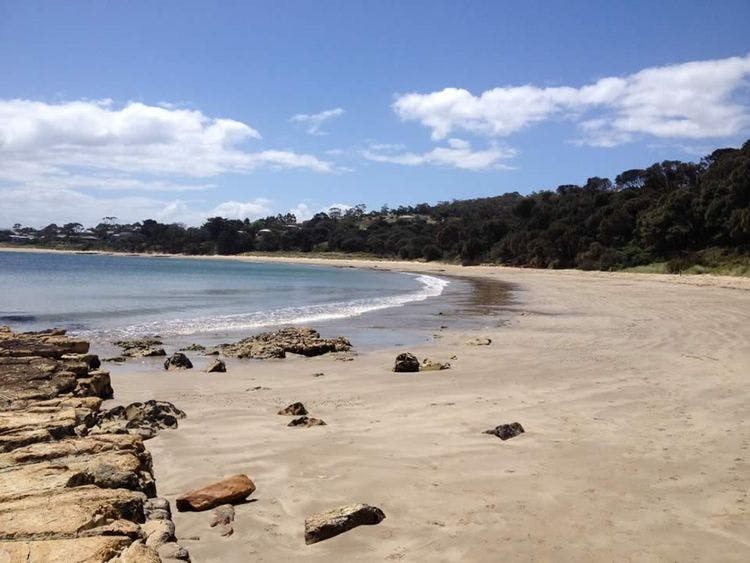
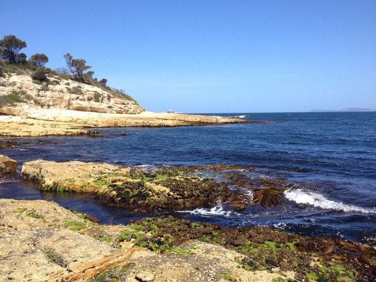
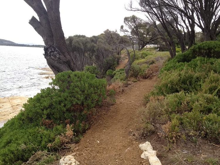
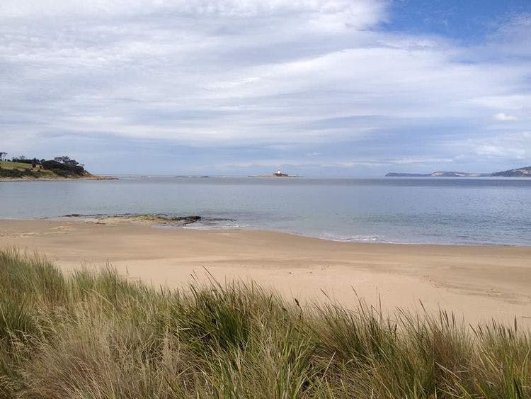
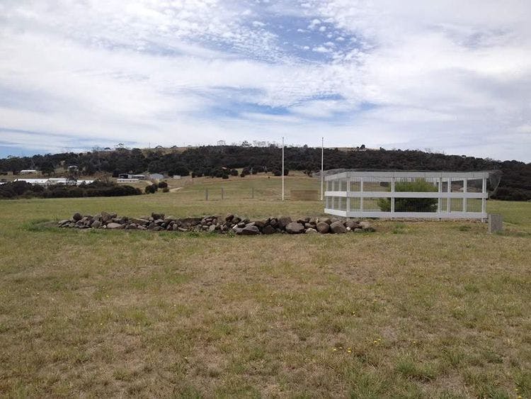
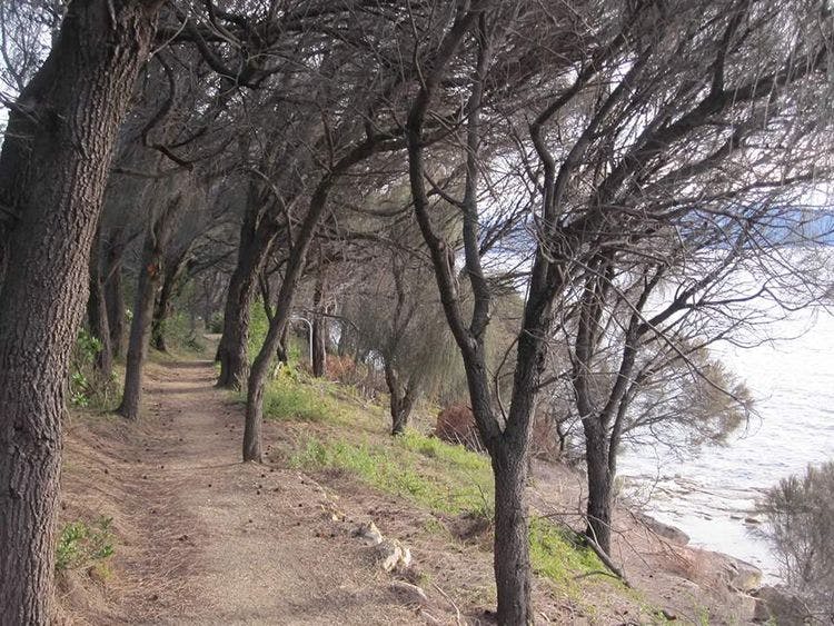
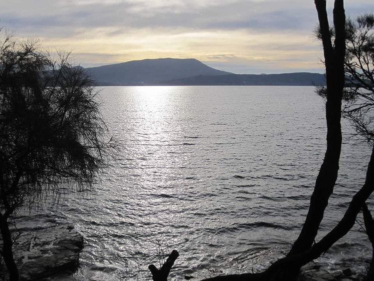
A beautiful 6.8km return coastal walk offering sweeping views of the Derwent estuary which finishes at Pot Beach and provides excellent views of the Iron Pot Lighthouse. The 1.7km long Blessington Track is narrow and undulating as it follows the coast reserve to Fort Beach where it drops down onto the sand. Walk along Fort Beach until you reach a track at the end that goes onto Cape Deliverance and the Lone Pine Memorial. Pot Beach is on the other side of the cape where there are views to Iron Pot and Bruny Island North. A side track from Fort Beach where the houses above the dunes finish takes you to Fort Direction Road and Potters Hill.
| Activity | Suggested Time | Difficulty |
|---|---|---|
| Half day | ||
| Half day |

Track Features
Restrictions

Safety Precautions

Plan your visit
Leave No Trace is an internationally accepted way of minimising impacts on the places we visit. Respect wildlife, be considerate with others, dispose your waste properly.
Be prepared for the walk. Plan your trip ahead, bring enough water, check the alerts, and make sure you are comfortable with the difficulty rating.
Recommended Trails


Track contacts

If you have any questions, feedback or updates regarding this track please contact the track manager at the Clarence City Council by phone on 03 6217 9500 or by email to clarence@ccc.tas.gov.au. For urgent communications please contact us by phone.
