

Alum Cliffs Track

Getting There
Alum Cliffs begins at the northern end of Kingston Beach. There are multiple entrances along the route at Tyndall Rd, Harpers Rd and Taronga Rd. Metro Bus 427 goes through Kingston Beach and along Channel Highway to Taroona and the city if you wish to only walk one way.
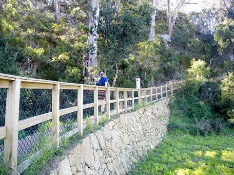
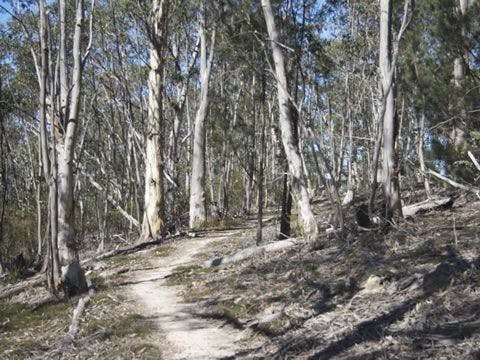
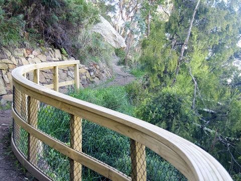
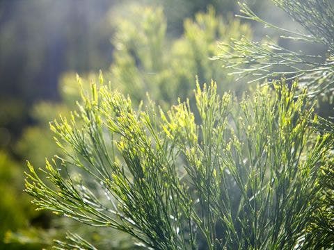
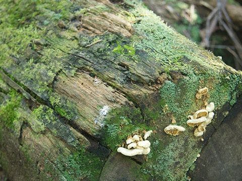
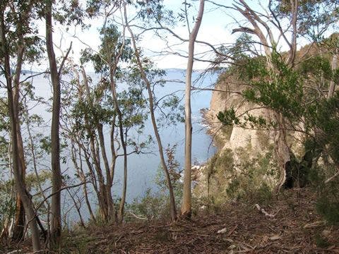
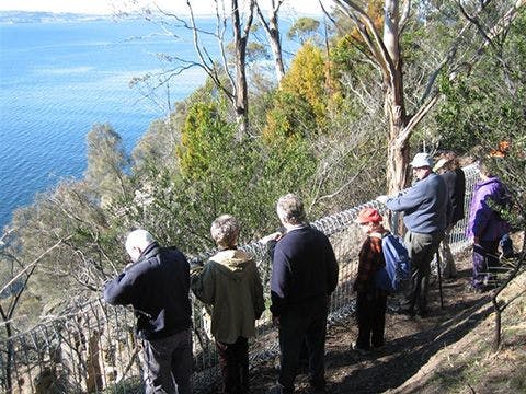
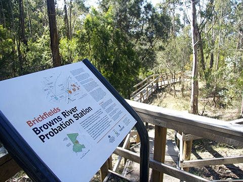
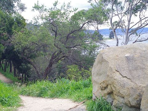
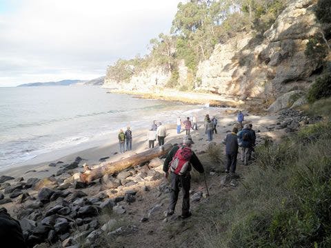
The route followed by today's Alum Cliffs Track has long been a coastal path used by local people. In 1988 it was formally developed as part of Australia's Bicentennial celebrations. In more recent years, Council has upgraded the southern section of the track, which climbs from Tyndall Beach through coastal blue gum forest with tall silver banksias. The track then winds up through silver peppermint bushland, dips into a glorious fern-filled gully, before rising again onto headlands for commanding views over Storm Bay and the Derwent Estuary. In 2016 Council completed the extension of the track from the historic Shot Tower to Wandella Avenue which then links in to the Taroona Foreshore Tracks if you wish to do a more extended walk. The track provides an 8 km return trip, and the beginning of the track provides toilets, picnic facilities and parking with nearby Cafes at Kingston Beach. The track connects with the Brickfields Track and also can be linked with the Boronia Beach Track via a short stroll along Kingston Beach.
| Activity | Suggested Time | Difficulty |
|---|---|---|
| Half day |

Track Features
Dogs allowed on lead.
Toilets at the northern end of Kingston Beach where the track starts. Cafes at Kingston Beach.
Restrictions

No bikes
Safety Precautions
Due to the track being narrow and with steep edges in places, care is required at some locations especially with small children.

Plan your visit
Leave No Trace is an internationally accepted way of minimising impacts on the places we visit. Respect wildlife, be considerate with others, dispose your waste properly.
Be prepared for the walk. Plan your trip ahead, bring enough water, check the alerts, and make sure you are comfortable with the difficulty rating.
Recommended Trails

Track contacts

If you have any questions, feedback or updates regarding this track please contact the track manager at the Kingborough Council by phone on 03 6211 8200 or by email to kc@kingborough.tas.gov.au. For urgent communications please contact us by phone.
