

Lauderdale Wetlands Track

Getting There
Start at Carrick Road reserve entrance off Terrina St, Lauderdale.
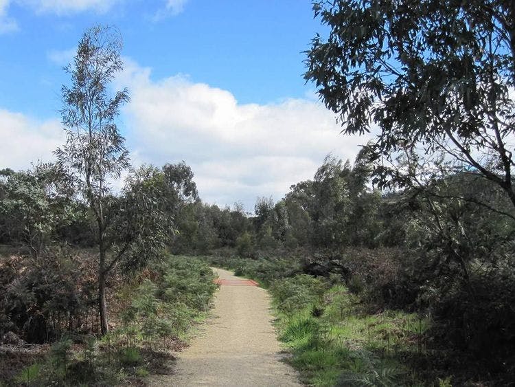
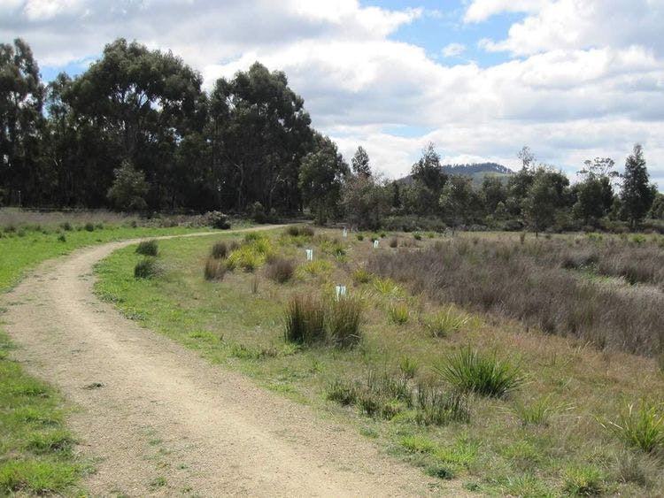
The track around the perimeter of the wetlands takes 15-20 minutes to walk. The man-made wetlands were established by Clarence Council to trap and treat stormwater from it’s surrounds in Lauderdale. The wetlands consists of a series of channels and bioretention basins which allow water to be filtered by planted native rushes and sedges. The area has been transformed to a vibrant wetland community which hosts a variety of insects, birds, native mammals, fish and other fresh water aquatic biota. The walk connects to the Tangara Trail at the southern end of Roscommon Reserve.
| Activity | Suggested Time | Difficulty |
|---|---|---|
| Under 2 hours |

Track Features
Dogs allowed on lead.
Restrictions

Plan your visit
Leave No Trace is an internationally accepted way of minimising impacts on the places we visit. Respect wildlife, be considerate with others, dispose your waste properly.
Be prepared for the walk. Plan your trip ahead, bring enough water, check the alerts, and make sure you are comfortable with the difficulty rating.
Track contacts

If you have any questions, feedback or updates regarding this track please contact the track manager at the Clarence City Council by phone on 03 6217 9500 or by email to clarence@ccc.tas.gov.au. For urgent communications please contact us by phone.
